

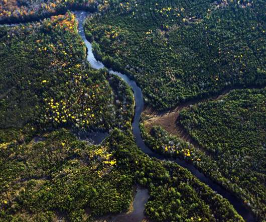
Map shows you where a raindrop ends up
FlowingData
MAY 25, 2021
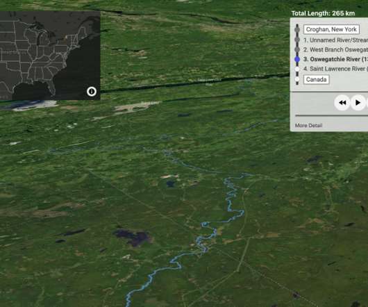
This uses USGS NHDPlus data and their NLDI API to visualize the path of a rain droplet from any point in the contiguous United States to its end point (usually the ocean, sometimes the Great Lakes, Canada/Mexico, or another inland water feature). Tags: rain , Sam Learner , water. via Waxy ].


Let's personalize your content